

Digitising the construction of the MRT SSP Line
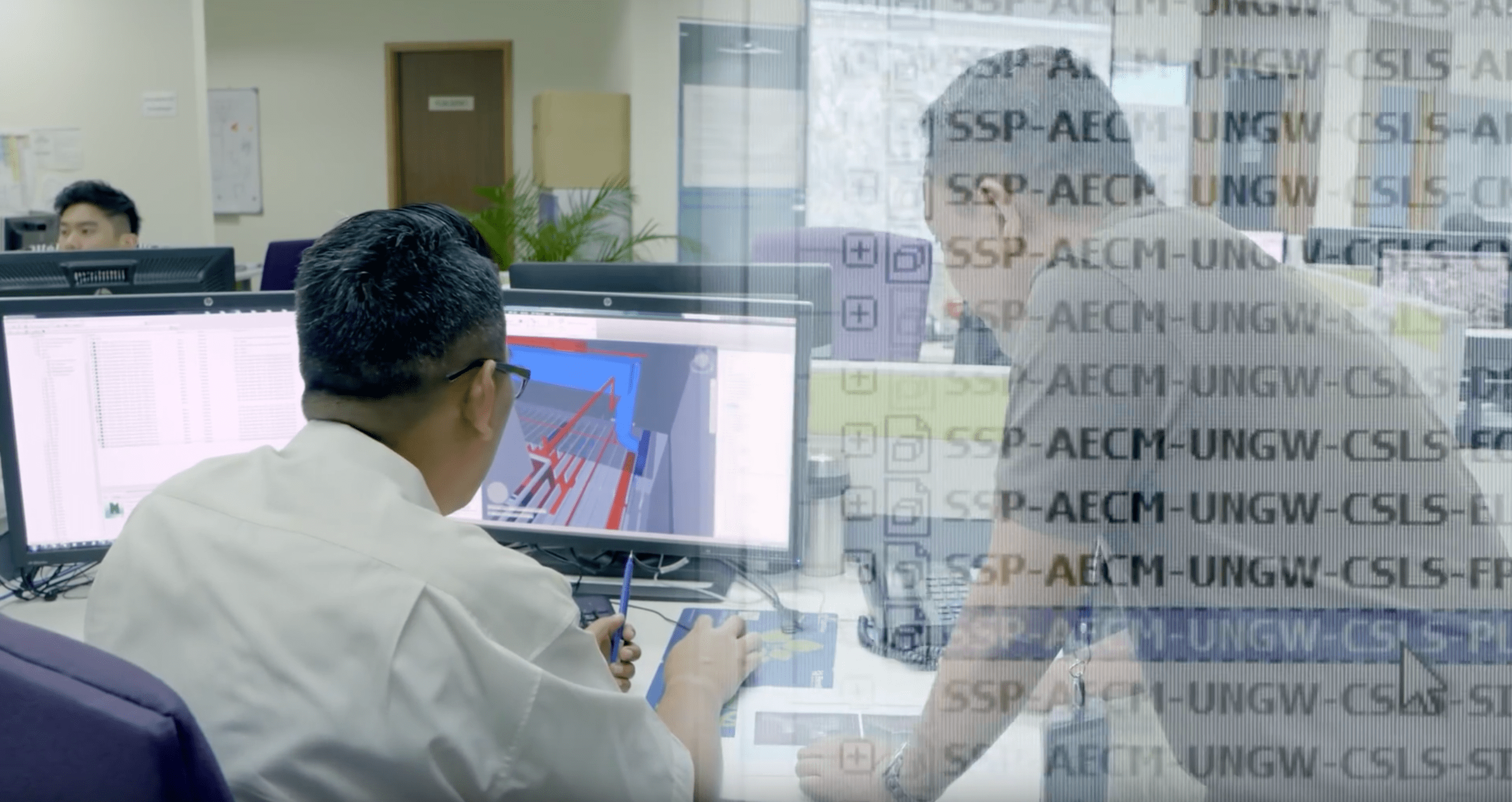
Viewpoint for Projects (VFP) and Field View are the two cloud-based Building Information Modelling (BIM) technologies that are set to power up the work process for the MRT SSP Line.
VFP is an information management system that brings together stakeholders, consultants, design, technical, operations and management teams on a Common Data Environment (CDE) platform.
As the information goes through the project life cycle, VFP can be extended to our subcontractors who need to access the same information.
Field View works on the same premise but is tailored for use at project construction sites, effectively cutting out endless paper forms, hardcopy paper trails and transposing all pen and paper activities onto a digital environment accessible on mobile technology in real time.
Additionally, the Geospatial Information Systems (GIS) is integrated with VFP and Field View to disseminate, analyse and present all types of 2D and 3D engineering data.
It allows data to be unified in terms of access to information and presented on an interactive web dashboard, enabling decision making and construction progress updates to be done more effectively.
Our Underground unit at MMC Gamuda will be the pioneer team implementing these high-end digital tools.
MMC Gamuda BIM Manager Nick Morecock explains the benefits of this digital adoption:
“With VFP and Field View, there is only one version, one single source of truth that everyone refers to. And because of the workflow process, you will automatically know that the engineering drawings, forms, permits, inspection tasks and document versions you are referring to have been checked, approved and suitable for consumption.”
“Digital adoption will drive better project outcomes, create efficiency, improve accuracy, generate less rework at our sites, provide real time data for analytics and reporting, improve decision making, upskill and prepare our staff for the ongoing digital disruption in the construction industry.”